If you want to stretch your legs on a scenic, easy trail Packwood Lake should be at the top of your wish list. For a historical touch take a look at the hand-painted sign at the trailhead displaying the trail system to set the mood for hiking; there’s also a partial view of Mount Rainier. A car-friendly road leads to the trailhead and facilities.
There’s much to like about Packwood Lake. The trail melts out earlier than many trails in the South Cascades and it is one suitable for hikers of all ages and abilities. Add fishing and wildflowers to round out a sweet family treat. There’s plenty of room to find a lonesome niche along the lakeshore, even on a sunny weekend.
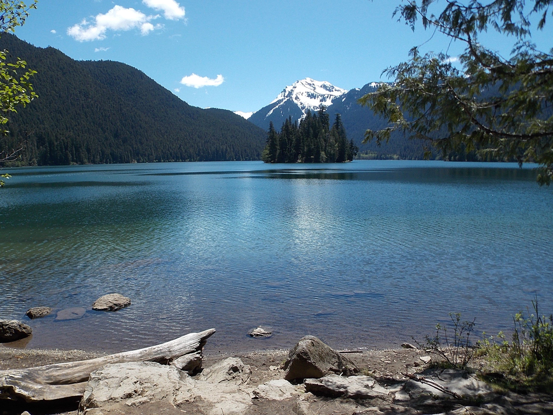
The Taidnapam people used the lake for fishing and camping long before a trail was built in the early 1900s for a hydroelectric project. The campground was built in 1917 by the Forest Service, and later, they constructed a two-story lodge and several small cabins. They were all torn down after a fire in the mid-1970s. The forested Agnes Island in the middle of the lake makes for a picturesque shot.
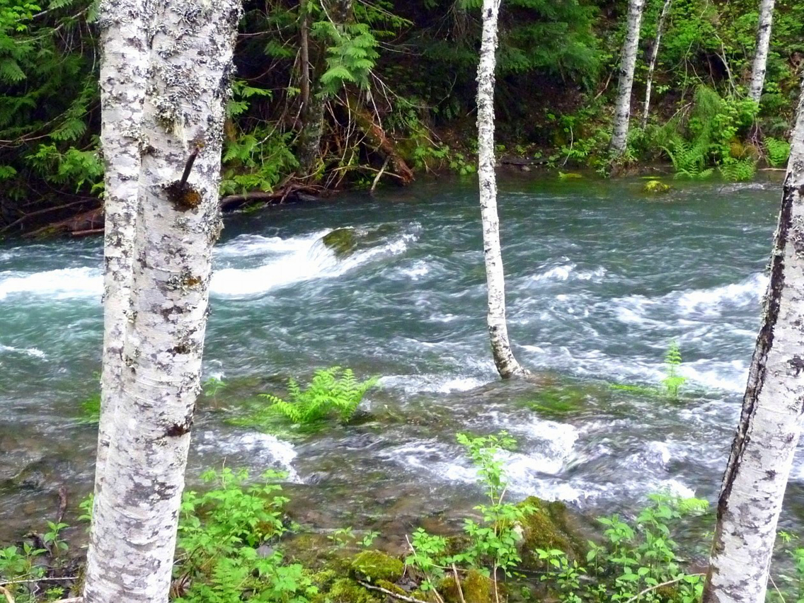
On the day we visited the trail in mid-June, the snow had gone, and clumps of sweetly-scented bear grass were coming into bloom. Several small moss-bordered streams were easily stepped over; none presented a challenge. In the forest, the vanilla leaf was getting started, and amidst sprinkles of yellow stream violets, we saw a few aging trilliums (these white flowers turn pink as they age and, near the end of their cycle, darken to purple). We also saw where trees had fallen across the trail and already been cleared; in an earlier report this spring, there were 34 blow-downs!
Pack bug juice, snacks, and cold drinks. There are no amenities at the lake though there used to be a resort and grocery store – out-of-date hiking guidebooks don’t reflect such changes. A couple of years ago, we met a young couple fleeing the lake sooner than they’d anticipated – they were being eaten alive by mosquitoes. They’d planned to camp after buying bug juice and a cold drink at the grocery, only to discover the grocery was long gone. There have been no concessions or facilities since the 1980s.
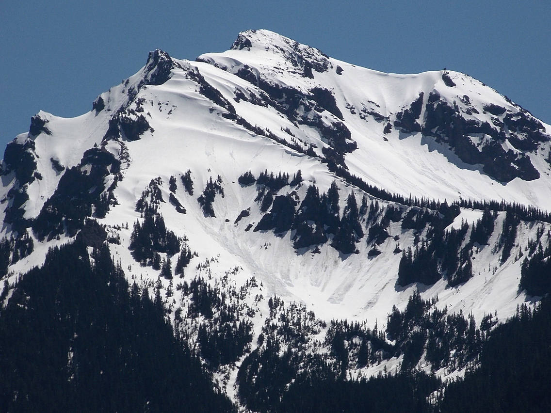
Fishing rules and regulations are posted at the trailhead for those who fish or who use fishing as an excuse to sit for a while and watch the light change on the lake as the hours tick by. There are also good views of Agnes Island and Johnson Peak at the far end of the lake.
Choose from several good places to settle once you reach the lake. You can follow the trail (left) along the shore to a historical Guard Station. Here, you can cross the outlet stream (Lake Creek) on a footbridge and, just beyond, find an open area with good views where the resort once stood. From there, hikers/backpackers can continue to more secluded campsites and other destinations, including the Pacific Crest Trail.
The Packwood Lake trail is open to hikers and equestrians; mountain bikes, motorcycles, and ATVs are prohibited. We made a loop by hiking out the multiple-use Pipeline Road Trail, which is open to hikers, equestrians, mountain bikes, motorcycles, and ATVs. By so doing, you can get a closer look at the hydroelectric project and dam, more views of Lake Creek, and further along the road, tilt your head back to take in the beauty of steep, mossy cliffs that border the left side of the road. The cliffs are laced with rivulets; beads of moisture twinkle like stars in the pale fronds of maidenhair ferns that cling to the dark rocks. There’s also a modest waterfall (left) though it’s hard to get through the brush for a better view. Be patient – there are views of Johnson’s Peak further along the road toward Mount Rainier and the still-snowy higher foothills.
Getting There
From Packwood, follow US 12 to Forest Service Road No. 1260 (Snyder Road), and continue six miles on the paved road to trailhead/parking. You can also get to Packwood from Skate Creek Road or Highway 123 from Cayuse Pass. A Northwest Forest Pass is required.
Additional Information
The map is Green Trails No. 302 Packwood.
The Packwood Lake trail is open to hikers and equestrians. Mountain bikes, motorcycles, and ATVs are prohibited on the Packwood Lake Trail; however, the Pipeline Trail is multiple-use. Call the Cowlitz Ranger Station at 360-497-1100 for additional information, rules, and regulations.
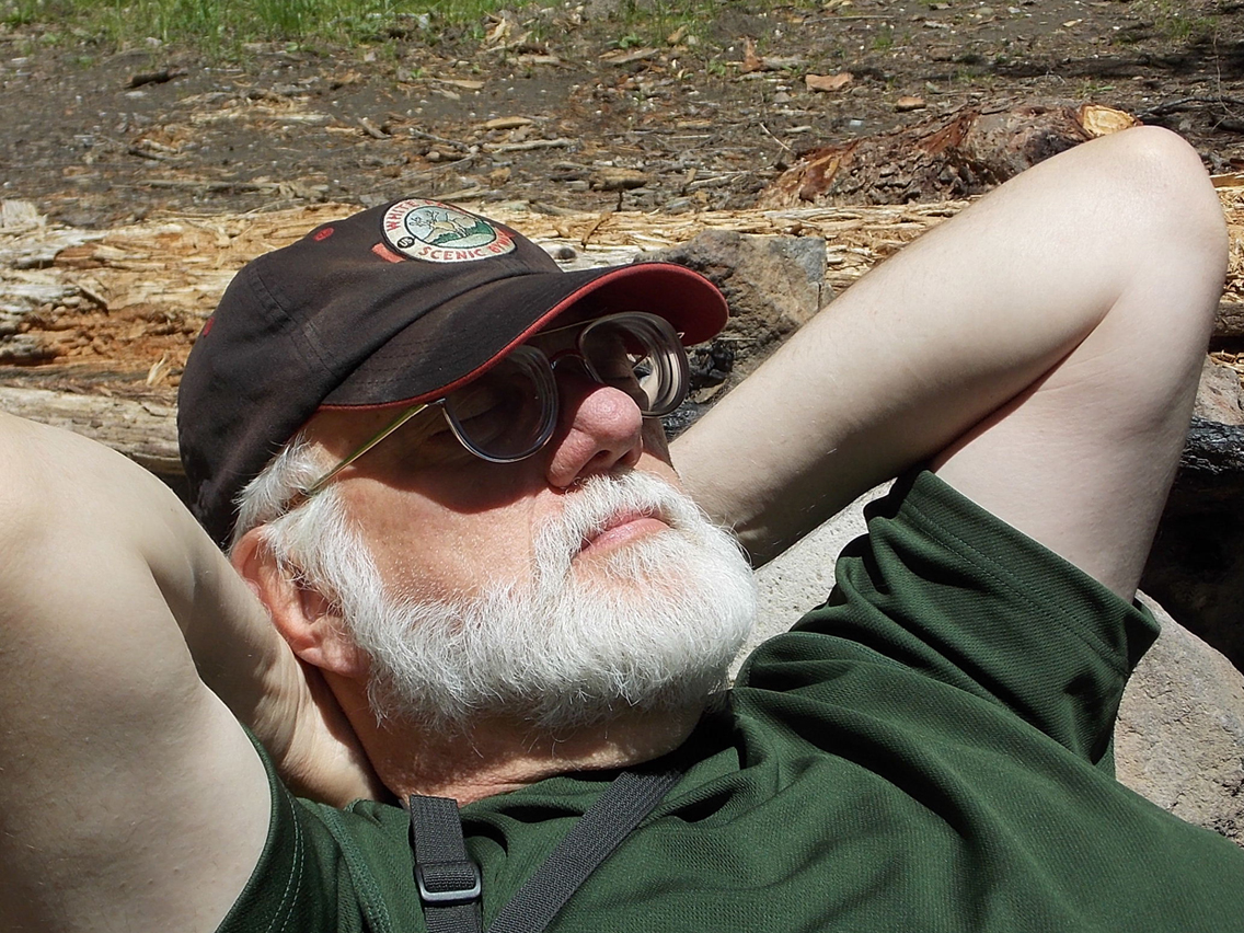
By Karen Sykes for the White Pass Scenic Byway