Mount Adams is notable for its dramatic volcanic landscape, glaciers and alpine meadows, pristine forests and wildlife, and accessible recreational opportunities that allow visitors to experience both rugged volcanic terrain and serene mountain lakes.
The Killen Creek area provides access to some of the most scenic alpine terrain on the north side of Mount Adams. Known for its expansive wildflower meadows, mountain streams, and panoramic views, the area is a popular destination for hikers exploring the Pacific Crest Trail and surrounding wilderness. Visitors can enjoy peaceful forest settings, stunning views of Mount Adams’ glaciers, and opportunities to experience the mountain’s rugged beauty away from the more heavily visited areas.
The South Climb area is the most popular access point on Mount Adams and serves as the starting point for the mountain’s standard summit route. Reached via the community of Trout Lake, the trail begins at Cold Springs Campground and attracts thousands of climbers each summer. As hikers gain elevation, they are rewarded with sweeping views of Mount Hood, Mount St. Helens, and Mount Rainier, making it one of the most iconic mountain experiences in the Pacific Northwest.
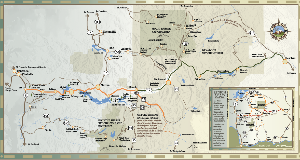
Takhlakh Lake offers one of the most photographed and recognizable views of Mount Adams, with calm waters often creating stunning reflections of the mountain. The lake features easy access, a popular campground, and beautiful scenery that attracts photographers, families, and campers throughout the summer season. Its peaceful setting and postcard-worthy views make it one of the premier destinations in the Mount Adams area.
Questions or Comments? Drop us a note we’d love to hear from you.