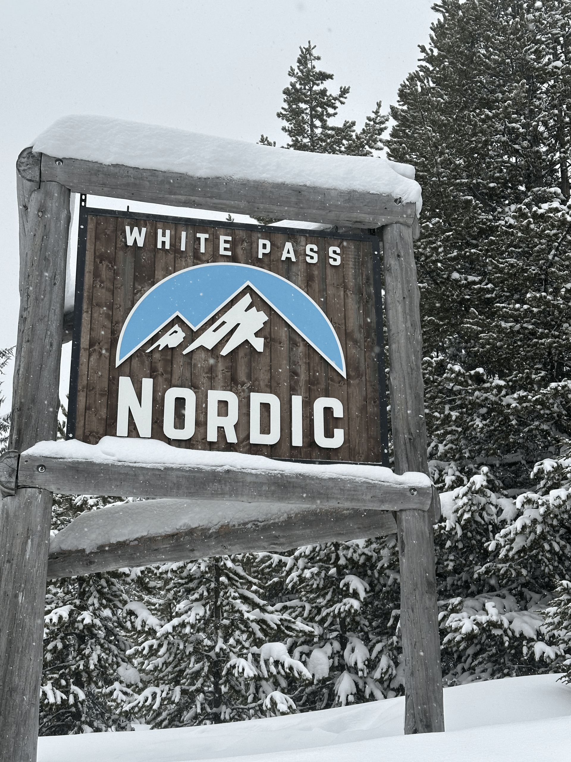
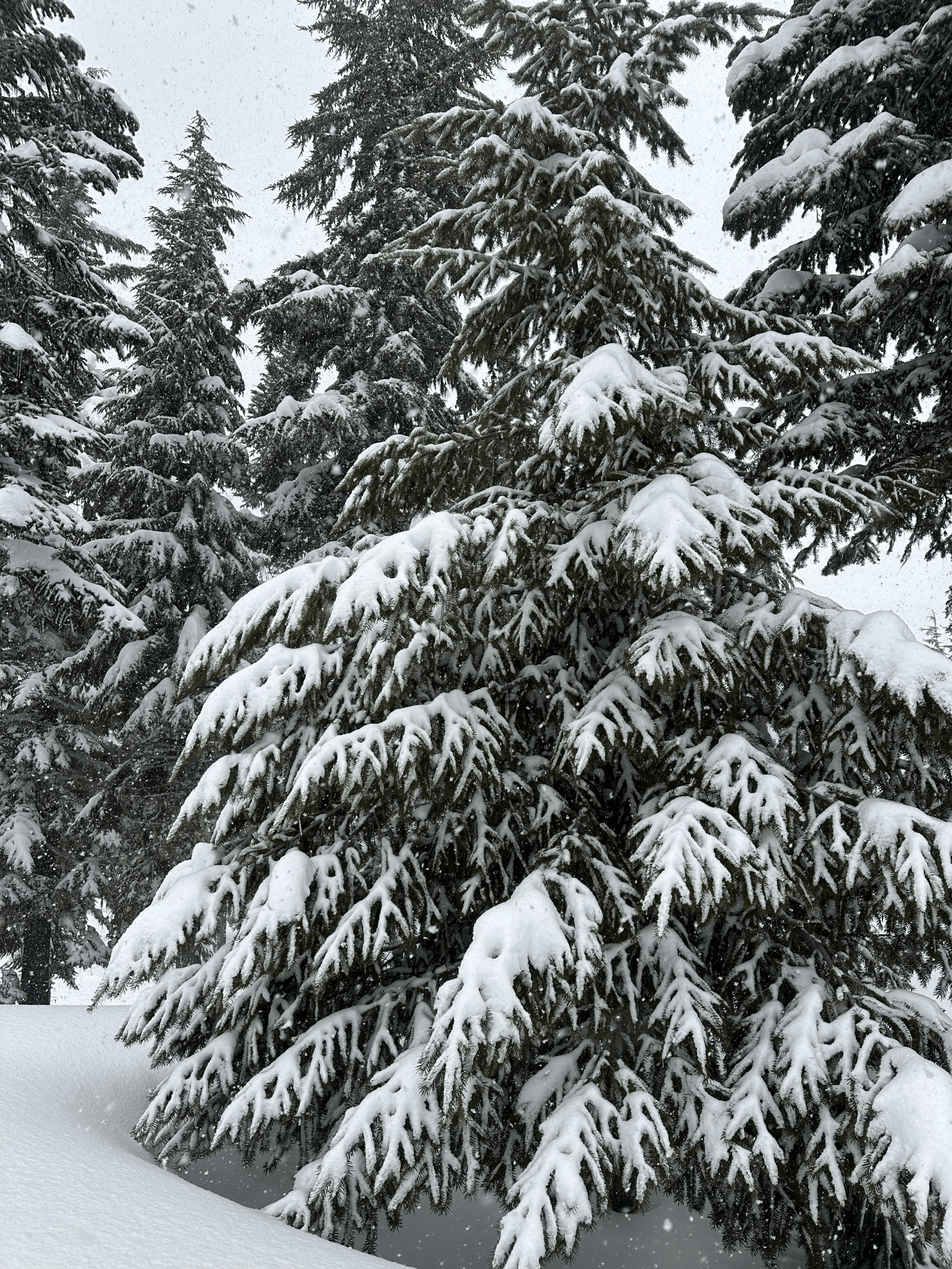
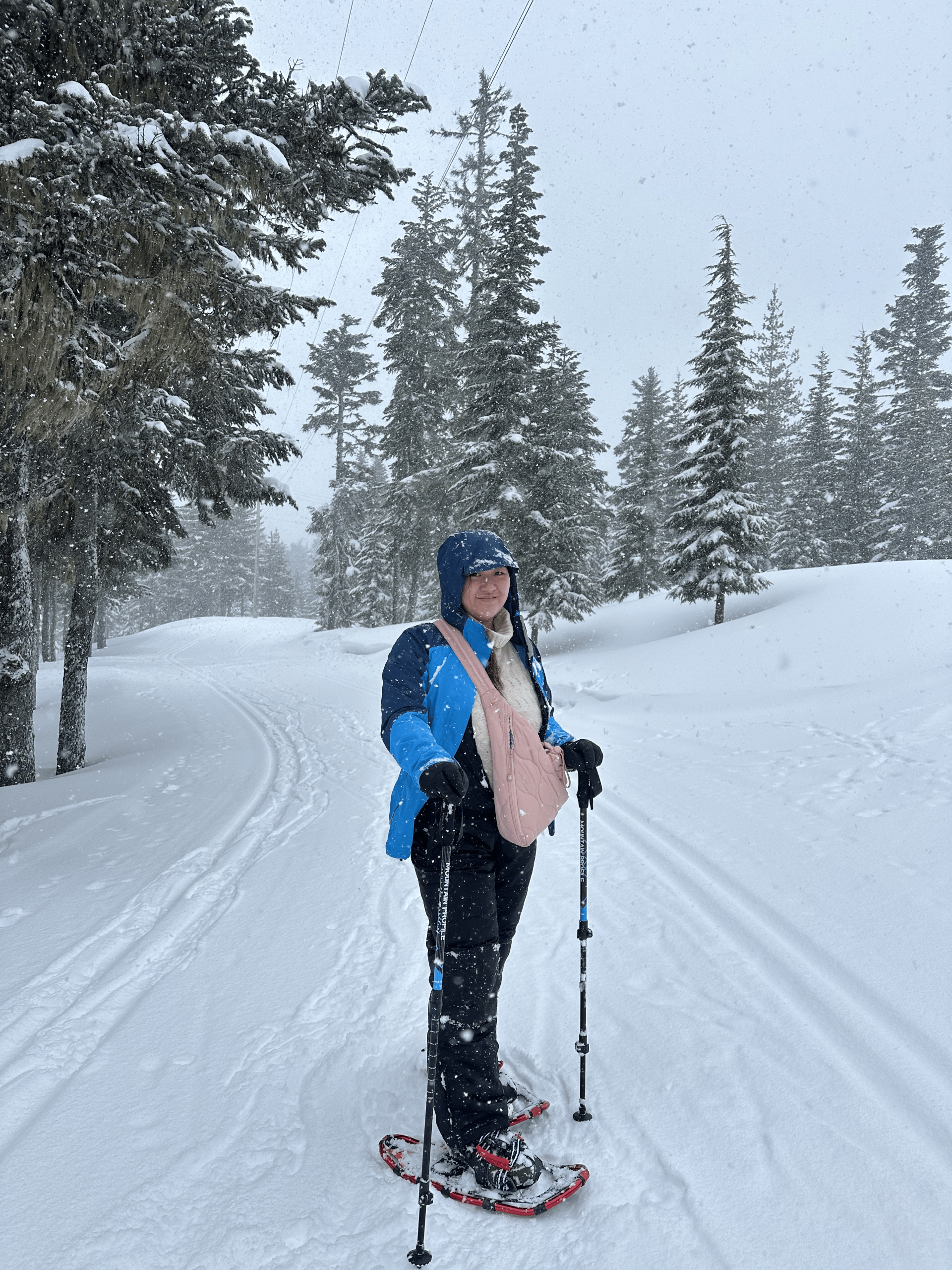
White Pass Nordic Center
Length: 10 total miles
Elevation Gain: 290 feet
Trail Type: many options
Skill Level: novice to advanced
Season: late November to early April
Trailhead Elevation: 4,500 feet
Other Uses: cross-country skiing
Offering some of the most enjoyable rolling and winding groomed trails in the Northwest, spend the day at the White Pass Nordic Center. Tour among 18 kilometers of double-track trails weaving through the Wenatchee and Gifford Pinchot National Forests. The terrain is available for cross-country skiing, skating, and snowshoeing for individuals of all skill levels. Lessons and equipment rentals are available, and friendly staff members are available at the Nordic Center yurt near the trailhead to answer your questions.
For more information, visit the White Pass Nordic Center. Download a printable map of the area here.
Directions: Drive US Highway 12 to the White Pass Ski Area.
Burley Mountain Lookout
Length: 18 total miles
Elevation Gain: 3,931 feet
Trail Type: out-and-back
Skill Level: most difficult
Duration: 2 days
Season: Nov – Dec & March – April
Top Elevation: 5,304 feet
Other Uses: cross-country skiing
Up, up, up… An arduous route, the trek to Burley Mountain Lookout follows a narrow section of rock through the trees, never ceasing in its direction to the top. Views are spectacular – look upon vast snow-covered meadows and see the mighty mountains of the Cascade Range – Mount Rainier, Mount St. Helens, and Mount Adams. Route finding becomes difficult as snowdrifts become common towards the top. Those reaching the summit are rewarded with the opportunity to stay overnight in the Burley Mountain Lookout (advanced reservations are required). Always carry a map and compass. Prior to your trek to Burley Mountain, contact the Cowlitz Valley Ranger Station at 360-497-1100 for road conditions and more information.
Directions: From Randle, drive one mile south on Forest Road 25 and then turn left (east) onto FR 23 (Cispus Road). Continue on FR 23 to its junction with FR 28/21. Bear right on FR 28/21, cross the Cispus River, turn right onto FR 76, and continue past the Cispus Environmental Center to FR 77 on the left. Follow FR 77 for about 7.5 miles, then turn left onto the dirt track of FR 7605. Drive to the snowline.
Horseshoe Lake at Orr Creek Sno-Park
Length: 11.75 total miles
Elevation Gain: 1,200 feet
Trail Type: out-and-back
Skill Level: backcountry
Duration: 6 hours
Season: mid-Dec to mid-Mar
Top Elevation: 4,100 feet
Other Uses: cross-country skiing and snowmobiles
A sweet spot in the middle of snowmobile country… Start the tour with a three-mile ski up a snowmobile path (stick with it, it’s worth it!), and then you’re on your way trekking along a lovely skier-only trail through the snow-covered forests to serene Horseshoe Lake. Not a difficult trek, but the route-finding can be tricky. Always carry a map and compass. Prior to your trek to Horseshoe Lake, contact the Cowlitz Valley Ranger Station, 360-497-1100 for road conditions and more information. Find more information at the Orr Park Sno-Park here.
Directions: From Randle, travel south on Highway 131. After 0.9 miles, the road divides. Stay left on Road 23. After 18.7 miles, turn left on Road 21 for 4.8 miles to an intersection with Road 56. Turn right on Road 56, cross the Cispus River, and continue for 3.1 miles before turning right on Road 5603. Travel 0.3 miles to the Orr Creek Sno-Park.
Round Mountain
Length: 9 total miles
Elevation Gain: 1,280 feet
Trail Type: out-and-back
Skill Level: more difficult
Duration: 5 hours
Season: Jan – Mar
Top Elevation: 4,320 feet
Other Uses: cross-country skiing
If you are searching for a trail meandering through the woods, Round Mountain is a great choice. As you trek along the trail, catch glances every so often of the stunning, snow-capped Goat Rocks. Pinegrass Ridge and Clear Lake are other landmarks you’ll see as you weave in and out of the forest. Always carry a map and compass. Prior to your trek to Round Mountain, contact the Naches Ranger District at 509-653-1400 for road conditions and more information.
Directions: Turn south off US Highway 12 at 7.6 miles east of White Pass or 26.2 miles west of the junction with State Route 410. Follow Tieton River Road 3.3 miles to the North Fork Tieton River Sno-Park. Ski ¼ mile to Round Mountain Road No. 830.
North Fork Tieton River
Length: 9.5 total miles
Elevation Gain: 140 feet
Trail Type: many options
Skill Level: easiest to more difficult
Duration: 5 hours
Season: Jan – mid-Mar
Top Elevation: 3,300 feet
Other Uses: cross-country skiing
There are several options for snow touring at North Fork Tieton River. Five different routes to be exact – and they all offer beautiful views and fairly easy, level routes. The one exception is the difficult mountaineering route to the summit of Round Mountain; a route for only the most experienced skiers. Always carry and map and compass. Prior to your trek to Round Mountain, contact the Naches Ranger District at 509-653-1400 for road conditions and more information. Find more information here.
Directions: Travel US Highway 12 7.6 miles east of White Pass or 26.2 miles west of the Highway 410 junction and turn on Tieton River Road No. 12. Drive 3.3 miles to the North Fork Tieton River Sno-Park.
White Pass – Pacific Crest Trail
Length: 16 total miles
Elevation Gain: 1,200 feet
Trail Type: out-and-back
Skill Level: backcountry
Duration: 1 – 3 days
Season: Jan – April
Top Elevation: 5,600 feet
Other Uses: cross-country skiing
You choose the length of your trip while skiing the Pacific Crest Trail near White Pass. Trek past little alpine lakes and climb rounded hills, tour wide open meadows and travel through dense forests. Those going for the day will find an easy turnaround point at Deer and Sand Lakes, while others will ski on into the William O. Douglas Wilderness. Always carry and map and compass. Prior to your trek to Round Mountain, contact the Naches Ranger District at 509-653-1400 for road conditions and more information.
Directions: Drive US Highway 12 to the summit of White Pass and park in the overnight parking lot not far from the motel.
Packwood Lake
Length: 9 total miles
Elevation Gain: 500 feet
Trail Type: loop
Skill Level: most difficult
Duration:7 hours
Season: late Jan – early March
Top Elevation: 3,200 feet
Packwood Lake is a hotspot for recreation during the summer months, yet is possibly even more beautiful once winter arrives. Located on the border of the Goat Rocks Wilderness Area, access this large lake on snowshoes as you trek along an old service road following a water pipeline to the dam at the lower end of Packwood Lake. Always carry and map and compass. Prior to your trek to Packwood Lake, contact the Cowlitz Valley Ranger Station at 360-497-1100 for road conditions and more information.
Directions: In Packwood, turn at the Packwood Ranger Station and continue six miles on Packwood Lake Road to the trailhead or at the snowline.
Silver Falls / Grove of the Patriarchs
Length: 5 total miles
Elevation Gain: 400 feet
Trail Type: out-and-back
Skill Level: more difficult
Duration: 3.5 hours
Season: Jan – early March
Top Elevation: 2,500 feet
For those looking for a setting of peace and quiet, without a lot of ups and downs or route finding, this is an excellent choice. The trail to Silver Falls is flat and wide and relatively easy to follow. Take time to enjoy the quiet, dense forest as you trek through the trees. Enjoy the mighty Ohanapecosh River that follows the trail, eventually leading to magnificent Silver Falls. During the winter, the dramatic shards of ice that line the falls create a stunning winter scene. From the falls, the trail continues to Grove of the Patriarchs, where you can look at a massive stand of trees over 1,000 years old. At this point, return the way you came, taking in deep breaths of that clean, crisp mountain air. Always carry and map and compass. Prior to your trek to Silver Falls, contact Mt. Rainier National Park, 360-569-2211 ext. 3314 for road conditions and more information.
Directions: From Packwood, drive east on U.S. Highway 12 to the junction with SR 123 and turn left onto SR 123 (north). Drive to the Ohanapecosh Campground on the left. (This may be the end of the plowed road, although often the road is plowed another 1.5 miles to the Stevens Canyon entrance of Mt. Rainier National Park.) Park in the plowed lot at the campground.
Sand Lake
Length: 9 total miles
Elevation Gain: 900 feet
Trail Type: out-and-back
Skill Level: easy to more difficult
Duration: 7 hours
Season: late Dec – early March
Top Elevation: 5,300 feet
Get to know the high country of the Cascade Mountains on this gentle climb along the Pacific Crest Trail. Pass through open alpine meadows and into the dense forest, along ridgelines and near high peaks on this charming, serene trail. Watch for frozen alpine lakes – which look more like plains of snow than a water basin. This trail is truly a trip through a winter wonderland, and snowshoers of all abilities will have a great time. Make the trip as long as you want. Always carry a map and compass. Prior to your trek to Sand Lake, contact the Cowlitz Valley Ranger Station at 360-497-1100 for road conditions and more information.
Directions: From Packwood, drive east on U.S. Highway 12 to the White Pass summit. Park on the north (left) side of the highway in the overnight parking area near the White Pass Ski Area (west of the White Pass Village Inn).
Cramer Lake
Length: 9 total miles
Elevation Gain: 800 feet
Trail Type: loop
Skill Level: most difficult
Duration: 7 hours
Season: late Dec – early March
Top Elevation: 5,000 feet
It is a beautiful little gem, as its beauty rivals that of the Pacific Crest Trail, only without the crowds of fellow recreationists. Along with the peace and tranquility, enjoy pretty Dog Lake, where your journey begins. The trail passes through dense forests as well as open meadows. Take in the views of the surrounding peaks and several meandering creeks. The route is fairly easy to follow and requires moderate climbing. Always carry a map and compass. Prior to your trek to Cramer Lake, contact the Naches Ranger District at 509-653-1400 for road conditions and more information.
Directions: From Packwood, drive east on U.S. Highway 12 to the White Pass summit. Continue east 1.5 miles to Dog Lake Campground and park in either the west or east end pullout. To pick up the trail, snowshoe west on the southern edge of the lake, and you’ll find the trail on the north side of the campground.
Tieton River Meadows
Length: 10 total miles
Elevation Gain: 350 feet
Trail Type: out-and-back
Skill Level: easiest
Duration: 8 hours
Season: late Dec – early March
Top Elevation: 3,500 feet
Experience an idyllic trek through forests of snow-covered pine trees on the Tieton River Meadows snowshoe. This gentle route meanders through the wide Tieton River Valley – through meadows and thick forests. Watch for wildlife along the way. Elk are often spotted in the area along with pine martens, snowshoe hares, foxes, and an array of birds. Always carry a map and compass. Prior to your trek to Tieton River Meadows, contact the Naches Ranger District at 509-653-1400 for road conditions and more information.
Directions: From Packwood, drive east on U.S. Highway 12 to the White Pass summit. Continue 7.5 miles to the Clear Lake Road (FR 1200). Turn right on Clear Lake Road and drive 3 miles to the Tieton River Sno-Park, located at the junction with FR 1207.