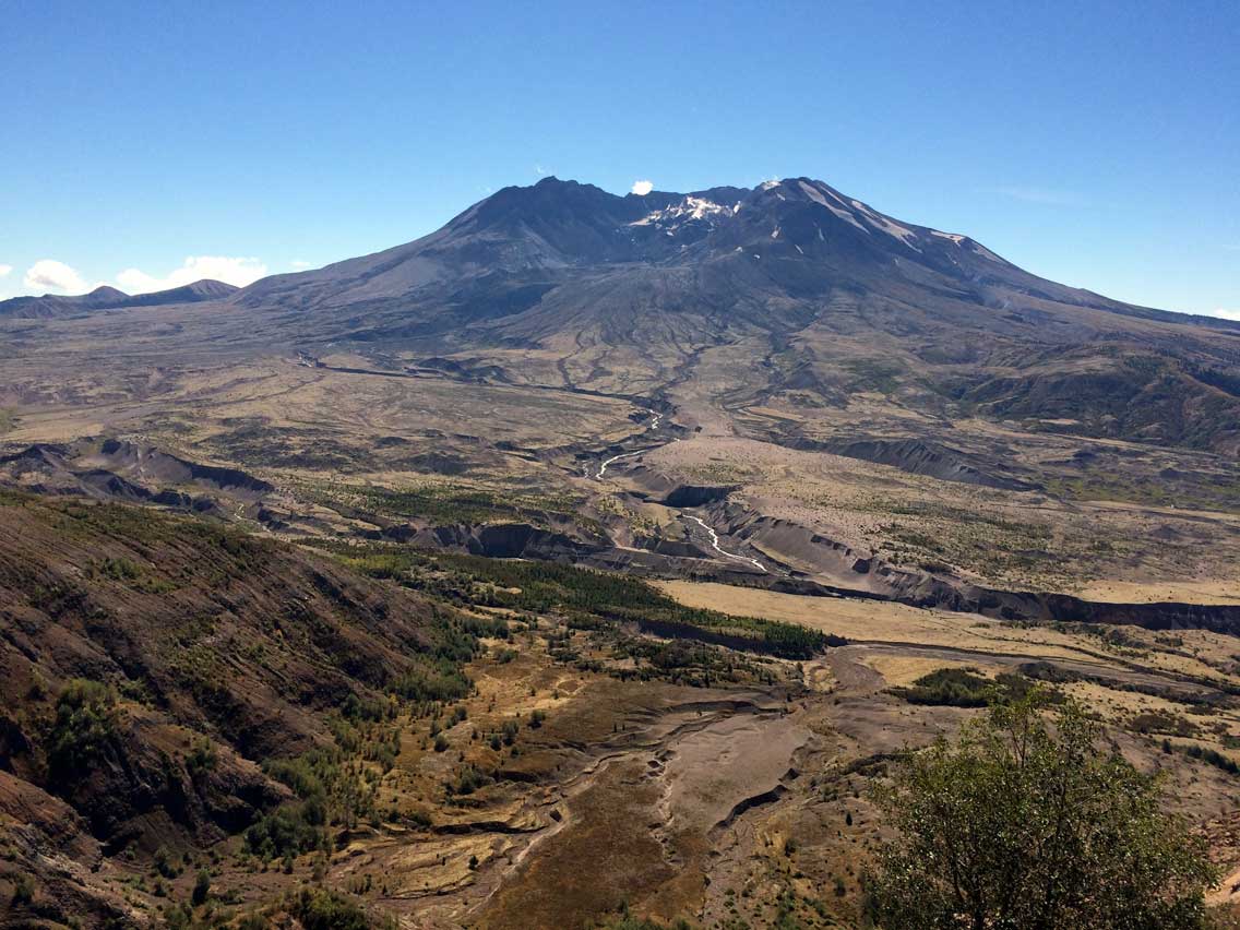
Forever changing over 200 square miles of rich forestland into a gray, lifeless landscape, the 1980 eruption of Mt. St. Helens has had an impact so powerful, you have to see it to believe it. Over two decades later, witness the mountain’s slow but steady recovery. Journey through this healing landscape and behold nature’s awesome power.
Johnston Ridge Observatory – landmark visitor center
No food services are currently available at Johnston Ridge. Visitors should bring food, snacks, and water
Access is currently impacted by long-term closures along SR 504. When open, access is seasonal and weather-dependent. Visitors should check official road and access updates before planning a trip.

Exit I-5 at Exit 68 and travel east on Highway 12 for 2.5 miles to Jackson Highway
From Highway 12 turn south on Jackson Highway and travel 6.9 miles to Highway 505
Turn left on Highway 505 and travel 13.8 miles to the Spirit Lake Memorial Highway 504
Turn left on Spirit Lake Memorial Highway 504 and travel 36.9 miles to the Johnston Ridge Visitor Center
Return via the same route along Highway 504 and Highway 505, 50.7 miles to Jackson Highway
Turn right on Jackson Highway and travel 1.2 miles to Spencer Rd. Turn right on Spencer Rd. and travel 10.6 miles to Fuller Rd
Turn left on Fuller Road and travel 1.1 miles to Highway 12 at Salkum.
Johnston Ridge ObservatoryJust five miles from the crater, learn how the landscape was reshaped after Mount St. Helen’s 1980 eruption and discover how volcanoes are monitored today at the Johnston Ridge Observatory. The center’s state-of-the-art interpretive displays magically portray the sequence of geologic events that transformed the landscape and opened up a new era in the science of monitoring an active volcano and forecasting eruptions. Read amazing eyewitness accounts from eruption survivors. Take a 0.5-mile walk on the Eruption Trail and learn how the eruption shaped the surrounding landscape. Visitors can expect to see views of the lava dome, crater, pumice plain, and the landslide deposit. Forest Interpreters share the magic of the geological events surrounding the 1980 eruption through a variety of formal talks and guided walks. Book sales and limited food service are available.
Questions or Comments? Drop us a note we’d love to hear from you.